
Changing the map style
Standard, satellite, hybrid, and what Auto is doing.
The map has four styles behind the layers button, in the stack of buttons on the map itself.
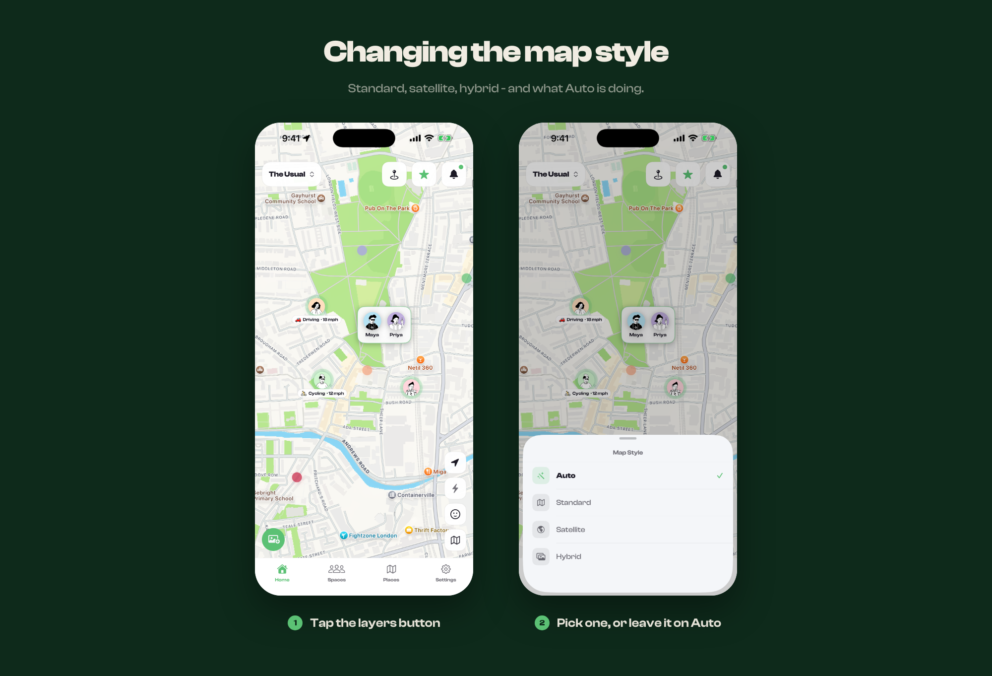
The options
- Auto - satellite when you are zoomed in close, standard when you are
zoomed out. This is what a new install starts on.
- Standard - the plain drawn map
- Satellite - aerial imagery, no labels
- Hybrid - aerial imagery with street names and labels over it
Why Auto switches
Zoomed out, imagery is a green and grey blur and the drawn map is easier to read. Zoomed in on a single street, imagery tells you things the drawn map never will - which building, which car park, which side of the courtyard. Auto picks whichever suits the zoom you are at, and fades between them rather than cutting.
Picking any of the other three turns Auto off and holds that style at every zoom until you change it back.
It does not carry over between sessions
The choice lasts while the app is open. Reopening Circl from cold starts on Auto again. If that becomes annoying, tell us - support@circlapp.org.
What the style does not change
Only the ground under everyone. People, place pins and radius circles are drawn on top and look the same in all four - see Reading the map for what those mean. It is your view alone, too: nobody else in the space sees the style you picked.